- MTB
- Atlas (Blue Derby)
Atlas (Blue Derby)
Hot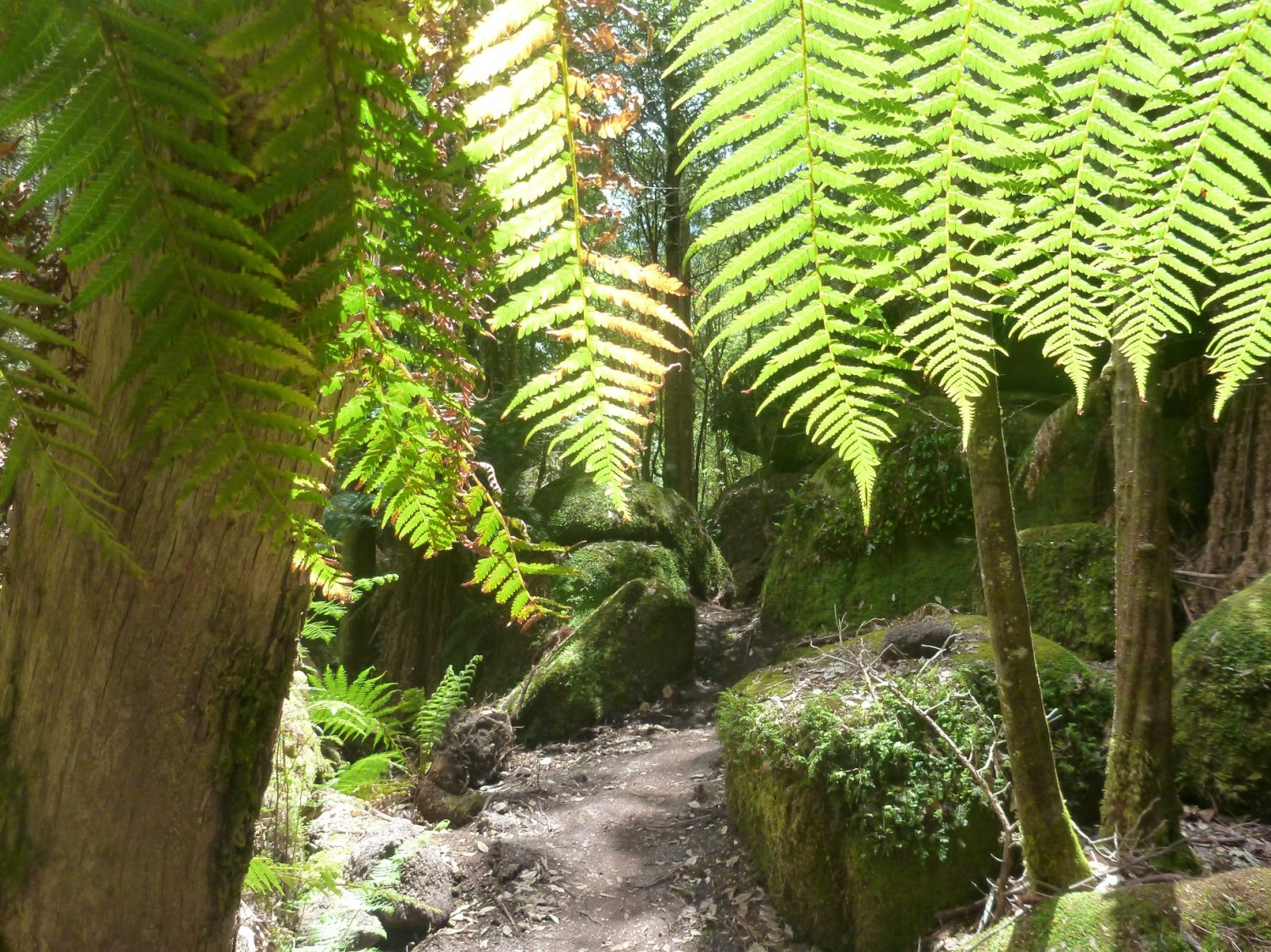
Key Statistics
Distance
8 - 20km
Grade
Duration
Single Day
Time (hrs)
1-4 Hours
Last Visited
December 19, 2015
Land Tenure
- State Forest
Trail Category
The Atlas trail sits out from the rest of the Blue Derby trails and deserves trail notes all of its own. Billed as a white-knuckle roller coaster ride, it is one heck of a track and worth the effort of riding it (just don't think that it's all downhill). You can ride Atlas as part of a loop, organise a commercial shuttle through Vertigo MTB (I've done this option and highly recommend it) or organise your own shuttle. These trail notes are written to help you with all these options.
If you're going to ride up to the top of the trail yourself, then just leave from Derby (see trail notes below). Vertigo MTB shuttles leave from the second (and larger) car park described in the Blue Derby Trail notes (they're very obvious).
If you're organising you own shuttle, then leave a car in Derby, and either continue on the A3 towards St Helens / Weldborough for about 22kms (approximately a 20 minute drive). Just as you come into Weldborough (it isn't a big place - basically a (great) pub and a few houses) keep an eye out for the Mount Paris Dam Road turnoff on your right (it now has a big "Atlas 7km" sign below it). It is a gravel road from here.
You shouldn't get lost, but be sure to turn left about a kilometre up this road when you get to a junction.
Note: about 4.1kms from Weldborough you will cross Mutual Road at a quarry. You can park here and ride the full Atlas trail from the top (approx 10km) but the trail signage now seems to be encouraging people to proceed to what was traditionally the shuttle drop off point (you don't miss out on much by skipping this first section except a lot of uphill riding).
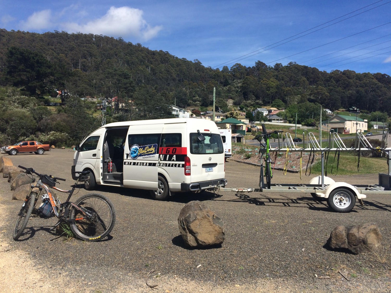
5.3kms from Weldborough, you will see a turn off on your right signed to "Carnac Road" and another sign "Atlas Shuttle Point 2>". Turn down here and follow the road for another 1.8kms to the Atlas Shuttle Car Park.
Note: There may be mountain bike riders on Carnac Road. Riders coming up from Derby via the old Mount Paris Dam will be cycling along here, and you will see an old track come in from your left about 0.5km along Carnac Road where other riders may enter. Riders who parked in the Mutual Road Quarry carpark will also be coming in from your right 1.1km along this road.
There is probably room for 8-10 cars (if parked well) in this car park and please don't park on the turning circle. Leave plenty of room for the shuttle (with trailer) to turn around.
For those people coming into Derby from the Scottsdale way, about 6kms before Derby (1.5kms passed the bridge at Branxholm) you will see a signed turn off to Mount Paris Dam Road (with another Atlas sign on it). This is an alternative way up to the top of the shuttle. It's about 16kms from this turnoff to the Atlas car park (so the Carnac Road turnoff is about 13.7kms along this road). This is a gravel road the whole way and it is a rougher, less scenic route.
There are no facilities (not even toilets) at the upper trailheads of Mount Paris Road.
You could ride up Mutual Road, combine it with some ride options around Weldborough or you could combine the Atlas Descent into a larger circuit over Rattler's Hill.
If riding up from Derby, you basically want to follow the same route as if you were going to ride Dam Busters.
So head up Axehead, Long Shadows and onto Flickety Sticks before turning off onto Dambusters. Follow Dambusters until you get to Myrtle Bridge, but instead of crossing Myrtle Bridge, turn right and ride up the old track. This quickly comes out to a junction where you want to turn left and continue up the old Cascade Dam Road.
2.1kms from Myrtle Bridge you will come to a junction, where you'll need to take a sharp left (onto Carnac Road).
3.9kms from Myrtle Bridge you will come to another junction (and a choice). You can either continue straight ahead (along Carnac Road) for another 1.75kms which will drop you out onto the road into the top of the atlas shuttle car park (it is a further 1.3kms from here to the top of Atlas) or you can turn right and follow the Rattler's Hill route up to Mount Paris Dam and then along Mount Paris Dam Road to Carnac Road. This route adds about 2.5kms to the ride, but is (in my opinion) well worth it for the chance to see the old Mount Paris Dam. More details of this route can be found in the Rattlers Hill trail notes.
Both alternatives are shown on the map with pink lines.
The Shuttle
There are currently two companies offering shuttles to the top of Atlas - VertigoMTB and Bus2Berms (see links in resources below). You can also of course arrange your own shuttle with mates, partners or anyone else you can con into driving you up to the top
Atlas
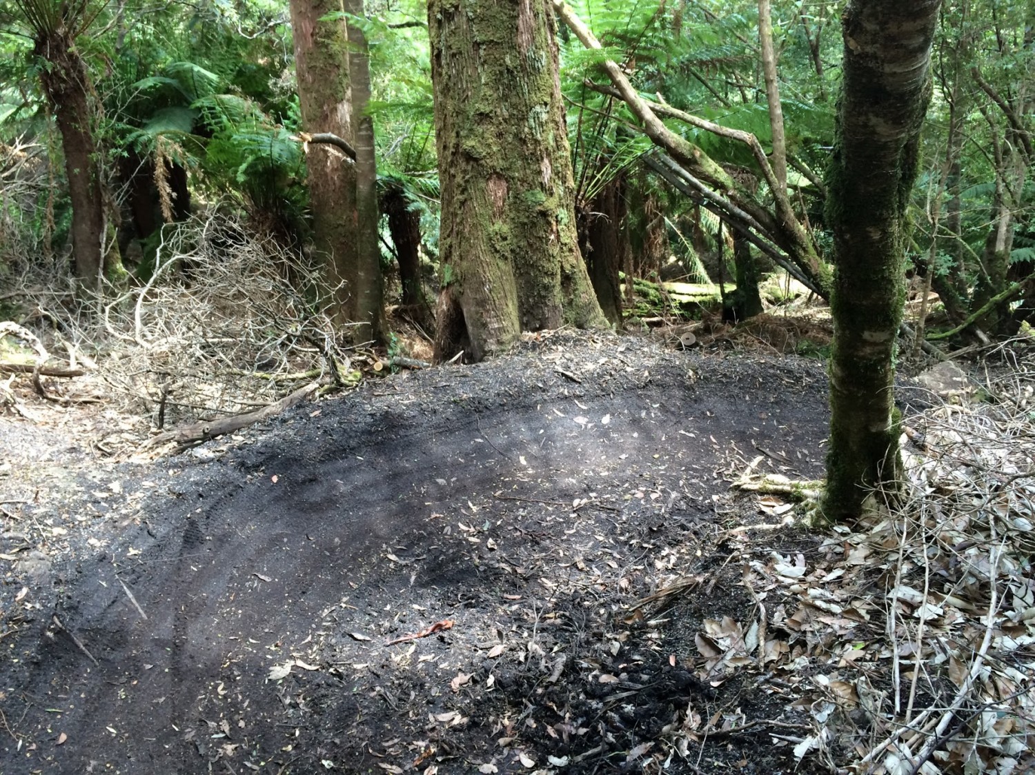
The Atlas trail itself is about 8kms long (See dark blue line on the map), but it then connects into Dambusters and the main Blue Derby Trail Network (light blue line on the map) and so the point to point route back to the Derby carpark will be a minimum of 12kms
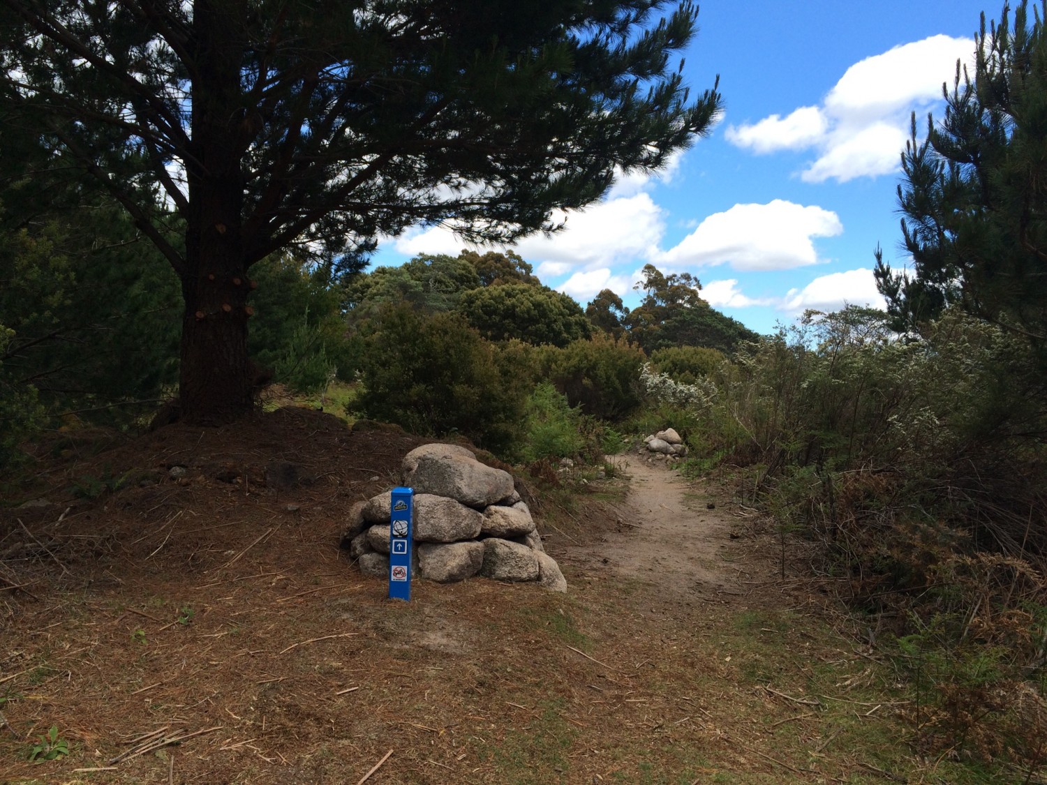
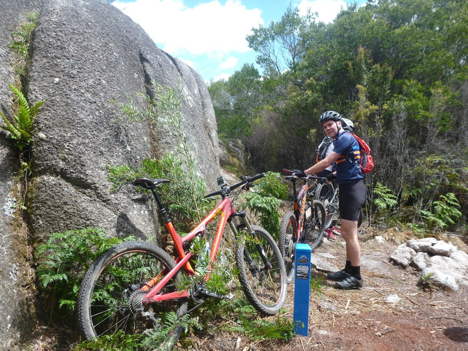
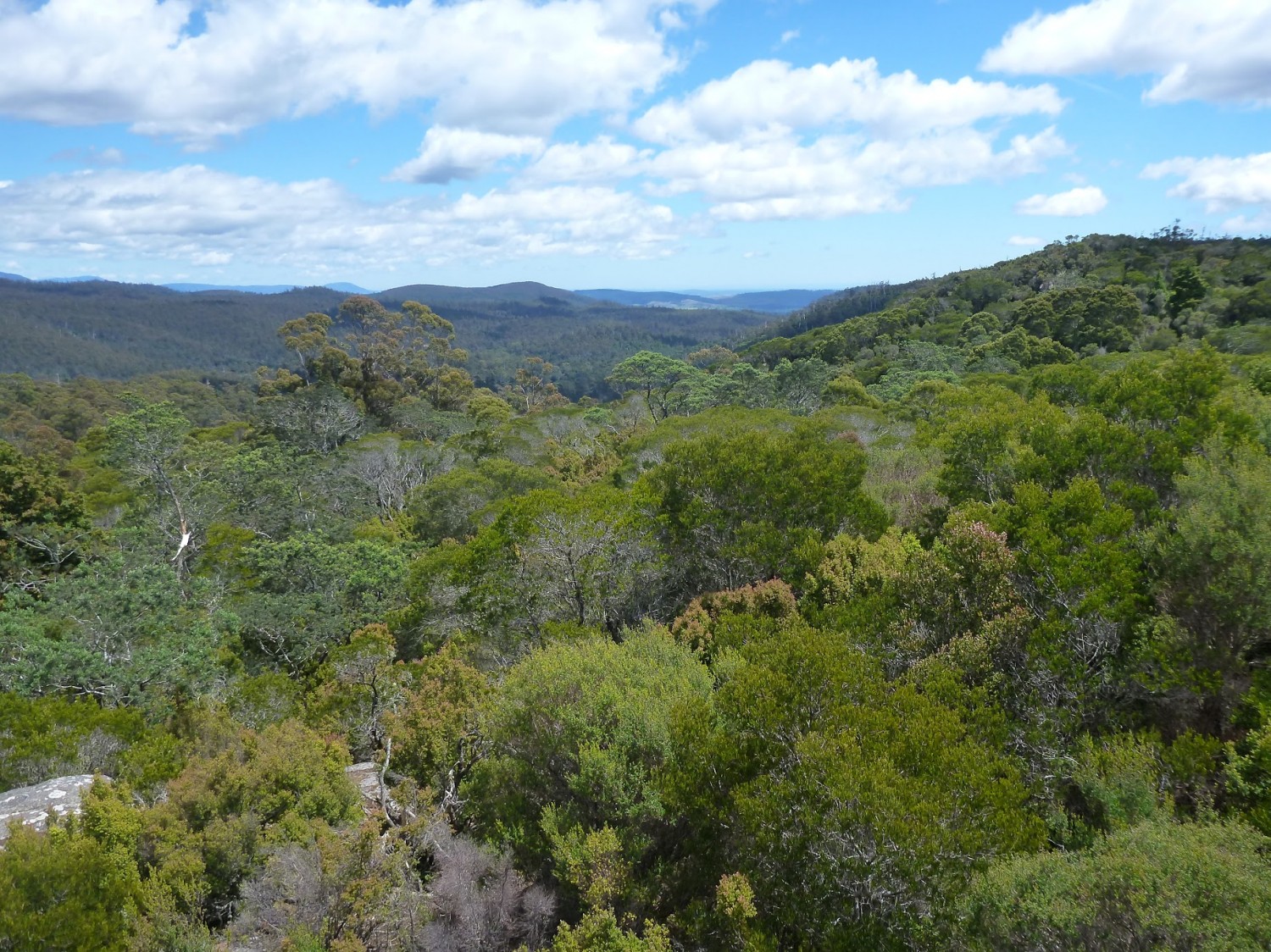
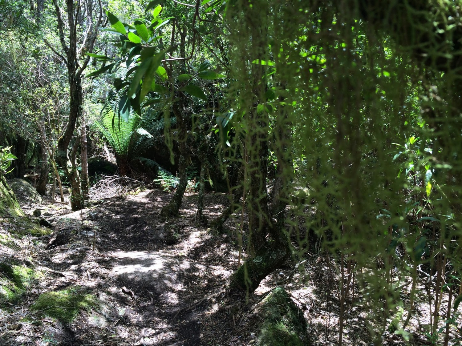
From the trail head you start descending, but don't get too excited because soon you're gently climbing again until you get to Jarvis Lookout about 1.3km to the start. This lookout is basically a big rock you can climb up (at your risk, not mine) for some pretty good views of where you're about to go. Once you've had a look see, jump back on the bike and continue on. About 2.3kms from the start you'll drop back out briefly onto an old road (Mutual Road) but you will soon be back on single trail (and climbing).
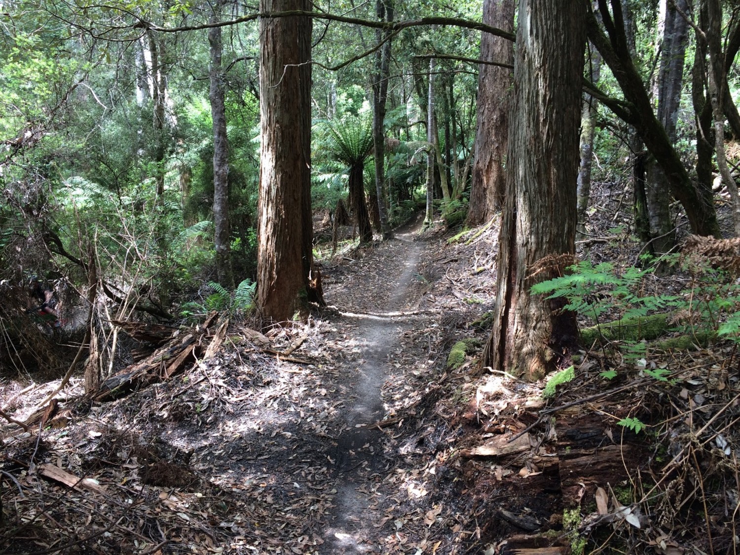
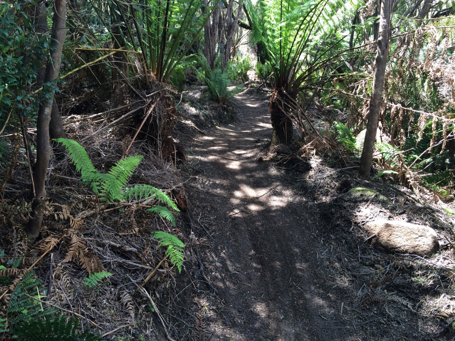
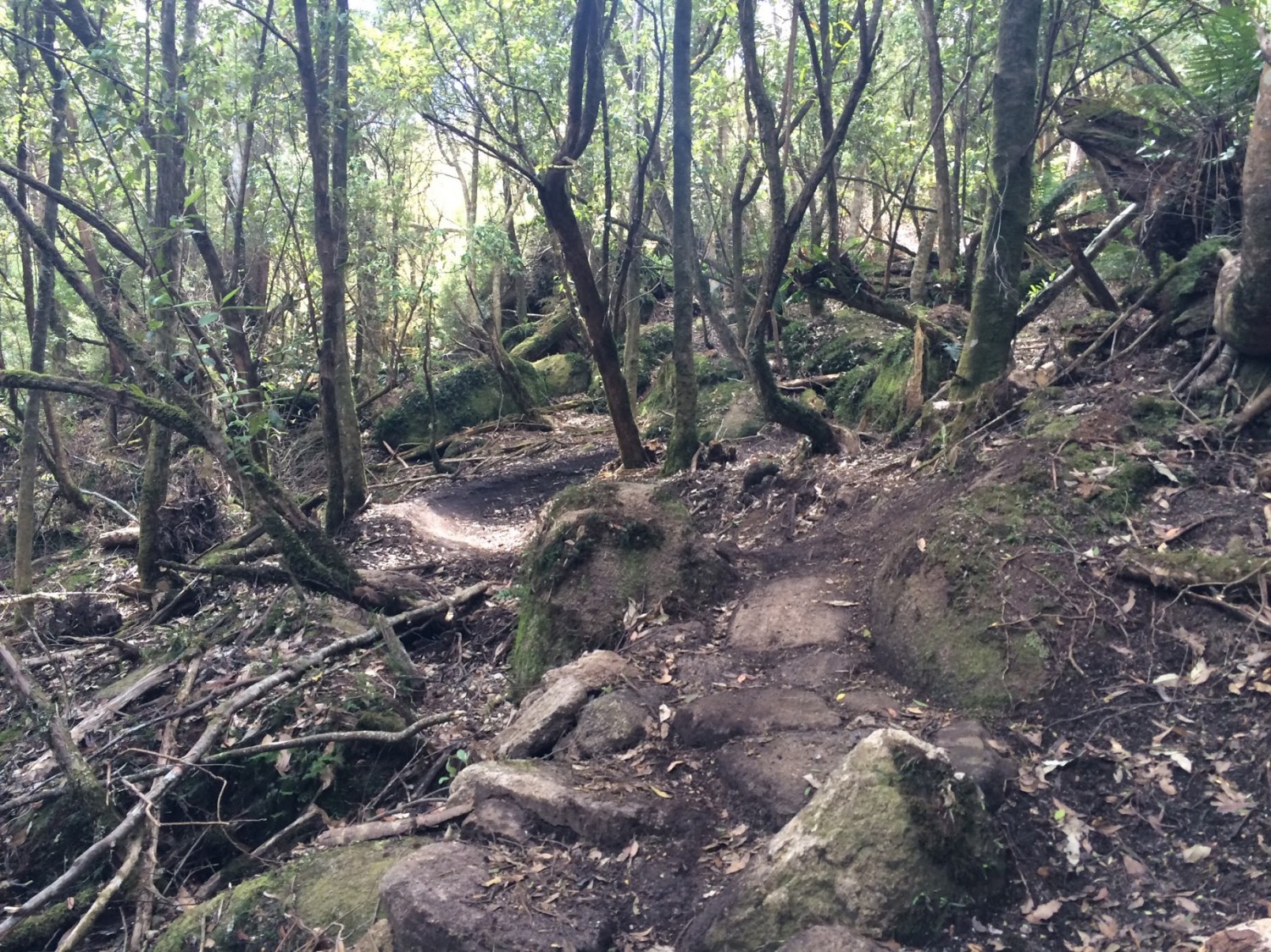
There's no more diversion or trail decisions for the rest of the Atlas Trail, just the various challenges and delights it will throw at you on your way down.
About 8kms from the start you'll drop onto Dambusters which you just follow around down to the main trail junctions (although you do have the option of following Black Dragon if you want some real black diamond riding rather than the sweeping berms of the Dambusters descent).
There are various options (eg. Howler, Rattler, Krushka) to get you back down to Derby.
GETTING THERE
If you need to know how to get to Derby generally, then check out the Blue Derby Trail notes.If you're going to ride up to the top of the trail yourself, then just leave from Derby (see trail notes below). Vertigo MTB shuttles leave from the second (and larger) car park described in the Blue Derby Trail notes (they're very obvious).
If you're organising you own shuttle, then leave a car in Derby, and either continue on the A3 towards St Helens / Weldborough for about 22kms (approximately a 20 minute drive). Just as you come into Weldborough (it isn't a big place - basically a (great) pub and a few houses) keep an eye out for the Mount Paris Dam Road turnoff on your right (it now has a big "Atlas 7km" sign below it). It is a gravel road from here.
You shouldn't get lost, but be sure to turn left about a kilometre up this road when you get to a junction.
Note: about 4.1kms from Weldborough you will cross Mutual Road at a quarry. You can park here and ride the full Atlas trail from the top (approx 10km) but the trail signage now seems to be encouraging people to proceed to what was traditionally the shuttle drop off point (you don't miss out on much by skipping this first section except a lot of uphill riding).
5.3kms from Weldborough, you will see a turn off on your right signed to "Carnac Road" and another sign "Atlas Shuttle Point 2>". Turn down here and follow the road for another 1.8kms to the Atlas Shuttle Car Park.
Note: There may be mountain bike riders on Carnac Road. Riders coming up from Derby via the old Mount Paris Dam will be cycling along here, and you will see an old track come in from your left about 0.5km along Carnac Road where other riders may enter. Riders who parked in the Mutual Road Quarry carpark will also be coming in from your right 1.1km along this road.
There is probably room for 8-10 cars (if parked well) in this car park and please don't park on the turning circle. Leave plenty of room for the shuttle (with trailer) to turn around.
For those people coming into Derby from the Scottsdale way, about 6kms before Derby (1.5kms passed the bridge at Branxholm) you will see a signed turn off to Mount Paris Dam Road (with another Atlas sign on it). This is an alternative way up to the top of the shuttle. It's about 16kms from this turnoff to the Atlas car park (so the Carnac Road turnoff is about 13.7kms along this road). This is a gravel road the whole way and it is a rougher, less scenic route.
FACILITIES
See the Blue Derby Trail notes for more details about what is available in Derby.There are no facilities (not even toilets) at the upper trailheads of Mount Paris Road.
ROUTE OPTIONS
The trail notes describe the most common ways people will ride Atlas. However there are plenty of other options for connecting Atlas to other trails.You could ride up Mutual Road, combine it with some ride options around Weldborough or you could combine the Atlas Descent into a larger circuit over Rattler's Hill.
WARNINGS
Don't let the hype fool you, this is still a remote area and there is limited phone coverage up some of the valleys. You can't rely on other riders coming past and saving you so make sure you are self sufficient in terms of safety gear, food etc. and always let "someone who cares" know where you are and when they should be worried if you're not back.
ROUTE DETAILS
Riding up from DerbyIf riding up from Derby, you basically want to follow the same route as if you were going to ride Dam Busters.
So head up Axehead, Long Shadows and onto Flickety Sticks before turning off onto Dambusters. Follow Dambusters until you get to Myrtle Bridge, but instead of crossing Myrtle Bridge, turn right and ride up the old track. This quickly comes out to a junction where you want to turn left and continue up the old Cascade Dam Road.
2.1kms from Myrtle Bridge you will come to a junction, where you'll need to take a sharp left (onto Carnac Road).
3.9kms from Myrtle Bridge you will come to another junction (and a choice). You can either continue straight ahead (along Carnac Road) for another 1.75kms which will drop you out onto the road into the top of the atlas shuttle car park (it is a further 1.3kms from here to the top of Atlas) or you can turn right and follow the Rattler's Hill route up to Mount Paris Dam and then along Mount Paris Dam Road to Carnac Road. This route adds about 2.5kms to the ride, but is (in my opinion) well worth it for the chance to see the old Mount Paris Dam. More details of this route can be found in the Rattlers Hill trail notes.
Both alternatives are shown on the map with pink lines.
The Shuttle
There are currently two companies offering shuttles to the top of Atlas - VertigoMTB and Bus2Berms (see links in resources below). You can also of course arrange your own shuttle with mates, partners or anyone else you can con into driving you up to the top
Atlas
The Atlas trail itself is about 8kms long (See dark blue line on the map), but it then connects into Dambusters and the main Blue Derby Trail Network (light blue line on the map) and so the point to point route back to the Derby carpark will be a minimum of 12kms
From the trail head you start descending, but don't get too excited because soon you're gently climbing again until you get to Jarvis Lookout about 1.3km to the start. This lookout is basically a big rock you can climb up (at your risk, not mine) for some pretty good views of where you're about to go. Once you've had a look see, jump back on the bike and continue on. About 2.3kms from the start you'll drop back out briefly onto an old road (Mutual Road) but you will soon be back on single trail (and climbing).
There's no more diversion or trail decisions for the rest of the Atlas Trail, just the various challenges and delights it will throw at you on your way down.
About 8kms from the start you'll drop onto Dambusters which you just follow around down to the main trail junctions (although you do have the option of following Black Dragon if you want some real black diamond riding rather than the sweeping berms of the Dambusters descent).
There are various options (eg. Howler, Rattler, Krushka) to get you back down to Derby.
Photos


Map
Editor review
1 review
Rambler's Review
Overall rating
4.5
Fun factor
4.5
Technical challenge
3.5
Scenic/cultural/historical value
4.0
Overall rating
4.5
TR
User reviews
There are no user reviews for this listing.
Resources
Commercial Providers
VertigoMTB shuttle service
{{#ratings}}
{{title}}
{{#ownerCreatedBlock}}
{{/ownerCreatedBlock}}
{{#category}}
{{#editor}}
{{/editor}}
{{#user}}
{{/user}}
{{/ratings}}
-
{{#owner}}
-
{{#url}}
{{#avatarSrc}}
{{name}} {{/url}} {{^url}} {{#avatar}} {{& avatar}} {{/avatar}} {{name}} {{/url}} - {{/owner}} {{#created}}
- {{created}} {{/created}}
Category: {{category.title}}
{{/category}}
{{#fields}}
{{#showLabel}}
{{/fields}}
{{label}}:
{{/showLabel}}
{{& text}}