Gone are the days when there was just no information on mountain biking in Tasmania. Now there are multiple websites, books and other information available.
For those who may want to find some paths less pedaled, here's some tips about good places I find information from, or maybe I just think are useful.
Maps
I love maps, and have a 1:250,000 scale map from Tasmap up on my wall here next to my computer which I frequently find myself standing in front of as I trace tracks and rivers, thinking, I wonder ...
Combine this with Google Earth and ListMap, which is a free Tasmanian Government site where you can access excellent satellite imagery, online 1:25,000 maps, property boundaries and ownership (crucial for ensuring you're not heading off onto private property when exploring), and you're well on your way to starting to discover some of your own trails.
Also see the iPhone section below for Mapping Apps while out in the field.
Guide Books
Yes, I know how old school, but seriously my daddy used to say to me that if you want to see what's ahead, it's much easier to stand on the shoulders of those that have been before. So, yes, don't overlook guide books.
There's been a game changer in 2016 with the release of Travis and Jane Deane's Tasmanian Mountain Bike Guide Book, the first mountain biking guide to Tasmania released since 1993: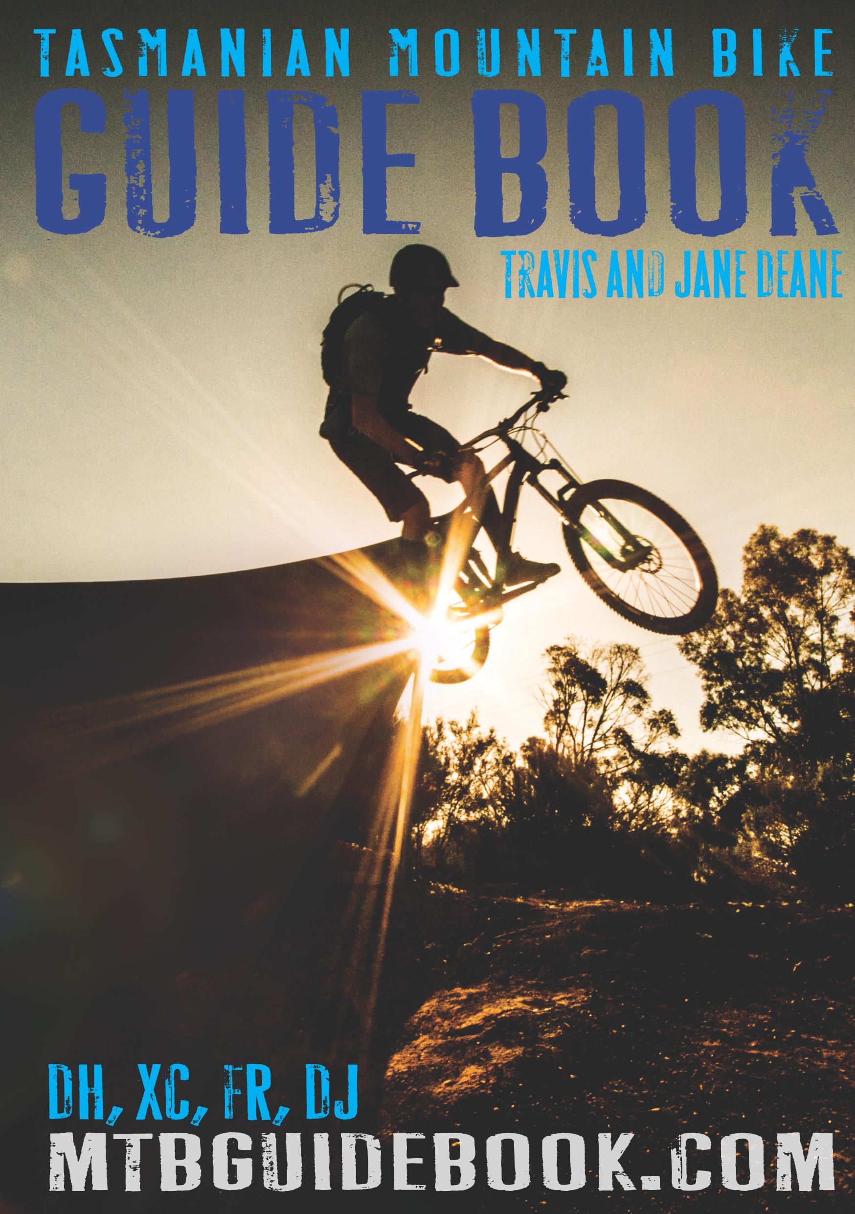
Although many of these trails can be found on tassietrails (and we were happy to help Travis in putting the book together) there are some trails, and a lot of information in the book that you won't find on this site, plus you'll get a different perspective on the trails.
To the best of my knowledge, there's only one other cycling guidebook that you'll currently find for sale and that's Andrew Bain's "Where to Ride Tasmania"
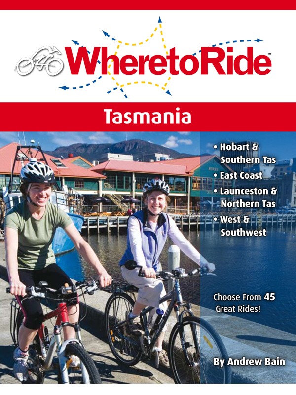
Now, having just told you that books are a great resource, this one (for me) seemed to be aimed mainly at fairly tame rides, but it is a great start to begin if you just don't know Tassie at all or are thinking of heading off to areas you don't know. It's more aimed at family rides though.
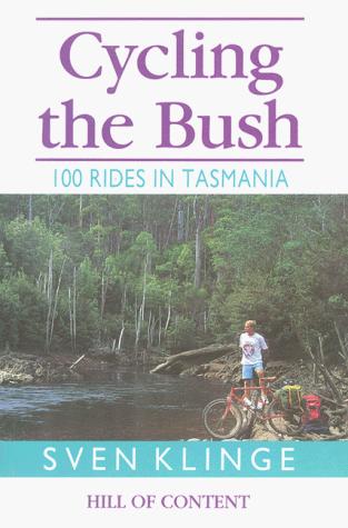
There are two other decent books, both of which are still available from the State Library of Tasmania, namely Sven Klinge's "Cycling the Bush - 100 Rides in Tasmania" (1993) and Ian Terry's "Bicycling Tasmania" (1993). Yes, they're old and horridly out of date sometimes, but these books got me dreaming.
There's also the official Tasmanian Trail guidebook, and also another guide titled "Cycle the Tasmanian Trail" (1997) by Ken White. Whilst this is still available in the State Library (and I have a copy), to be honest it is now a bit to out of date to be useful.
Web Resources
There are a heap of web resources out there for cyclists, but they can be a little hard to find.
If you're thinking of heading off to a park or reserve, then the obvious place to start is the Parks and Wildlife website. It can take a bit of hunting, but many parks and reserves have management plans in place which specifically outline where you can and can't go cycling.
Local Council's sometimes have awesome information on their websites about cycling:
- Kingborough Council has a dedicated recreation page listing all of their local walks and specifically identifying whether you can or can't cycle each route;
- Launceston City Council hasa page on mountain biking trails.
- The Greater Hobart City Councils have put together an integrated web site of all the rides, walks and trails in the area together.
Other cool sites include
- Ride Tassie (established in 2014) and claiming the title of "the definitive guide to mountain bike flow in Tasmania" is a great website for visitors to the State and you'll notice a lot of tassie trails content over there because we like to help people out.
- Blue Derby has their own website.
- The Mt Wellington Management Site, which has a great section on where you can and can't cycle, including free downloadable maps.
- The Cycling South site has links to bike routes and maps and projects and parks around the Greater Hobart area. They've also published the Hobart Bike Map which shows most of the more popular routes around Hobart.
- Meander Valley Council has put together the Great Western Tiers Cycle Trails resource, which provides free maps and ipod interpretative downloads.
- Discover Tasmania has a bit of an overview page for those looking at Touring Options around the State, with the most useful resource being their Cycling Map.
- Bicycle Network Tasmania also has a range of links to rides around the State (very similar to this), with their crowning glory being the Giro Tasmania route description for those looking for an extended road touring route around the State.
- For those coming from interstate or overseas, the Hobart Community Legal Service has a nice summary of Bicycle and cyclist specific laws in Tasmania.
iPhone Apps
There's a huge number of iPhone Apps out there, and I don't want to even pretend that I can tell you which are the best, however here's a few that I find useful and use regularly:
- Gaia GPS- This is my current App of choice for navigating. Although it costs $20 it is easily the most powerful and easy to use of the Apps I've tried. Like the other Apps listed below, it allows you to download map backgrounds from a number of popular online maps including google maps, google satellite and opencyclemaps onto your smart phone and then you can head out into the bush and use the phone's GPS to see where you are. You can also open GPS tracks onto this device (eg. from an email or website). Mount your iPhone on the front of your bike and when you come to a junction, just turn it on and see which way to go ... navigating heaven.
- Trailforks is an amazing App (available on iPhone and Android) which has a huge and growing list of trails on it, with the added advantage that you can check you're on track out in the field. My only caveat with this App is that just because you see a trail on the App, that doesn't necessarily mean it is legal to ride it, so use some caution.
- Viewranger - is European focused, but it is free to download and allows you to use several free maps including opencyclemap which is one of the best free cycling maps out there (has contour lines which gives it an advantage over google products in some instances) as well as openstreetmap (useful in towns) and bing road maps and aerial imagery.
- Memory Map - This is a great product. The free version (which I use) allows you to download a free base map of places you're going to (which is stored on the phone) so that when out in the bush (even when beyond mobile data range) you can still see where you are (just using the phone GPS) without having to incur download costs and delays like you do with Google Earth or Google Maps. The resolution is more useful for getting to places, than actual detailed navigation, but still very useful (particularly if travelling from overseas to Tasmania). For $AU199 you can buy the full topographic map series for Tasmania which would be awesome for navigation.
- Google Earth / Google Maps - Still the most useful map tool I use, it's hard to beat these tools, especially the ability to see where you are on a satellite map ... great for exploring, but of course the downside if you need to be downloading data in real time.
- Avenza PDF Maps contains a series of 1:25000 spatially enabled pdf maps (available under the topographic section in the shop). This allows you to download spatially enabled maps onto your iphone so when you're out there lost you can see exactly where you are. You can also upload the gpx and kml files from tassietrails into this App so you really know where you are. The only downside is I find the uploading a bit clunky and the map boundaries and navigation a bit painful. But it is free and really good if going exploring off trail.
I also can recommend the ToiletApp or ShowtheLoo Apps ... they all use the same database and are useful when travelling into areas you don't know and you don't want to cycle randomly around town trying to find the nearest public convenience ...
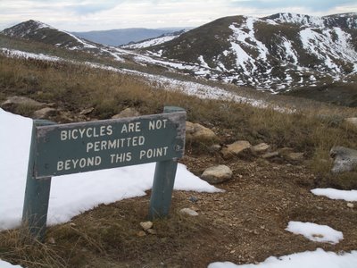
That's everything I can think of right now. Hope it is of some use. Just remember, that often the best way to find an awesome trail is to get on a bike and go riding. The only hard and fast rule I ask you to stick to, is if it asks you not to go there, then don't.
Happy trails!