- MTB
- Lake Dobson (Mt Field National Park)
Lake Dobson (Mt Field National Park)
Hot
Key Statistics
- National Park, Reserve
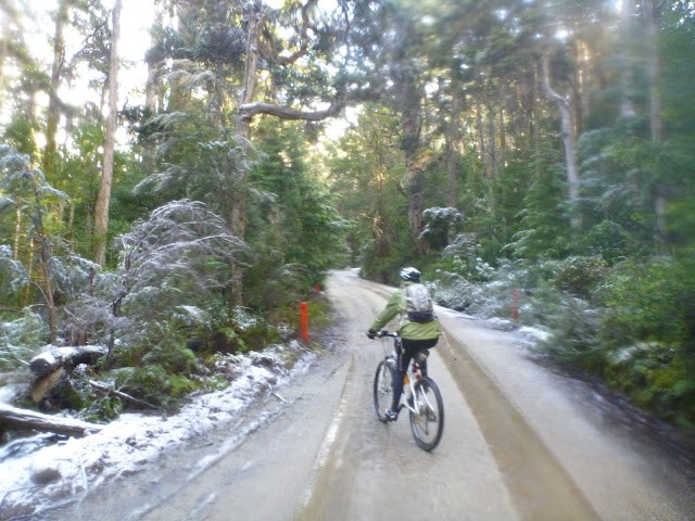
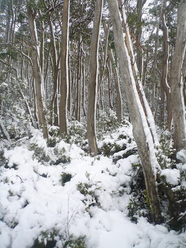
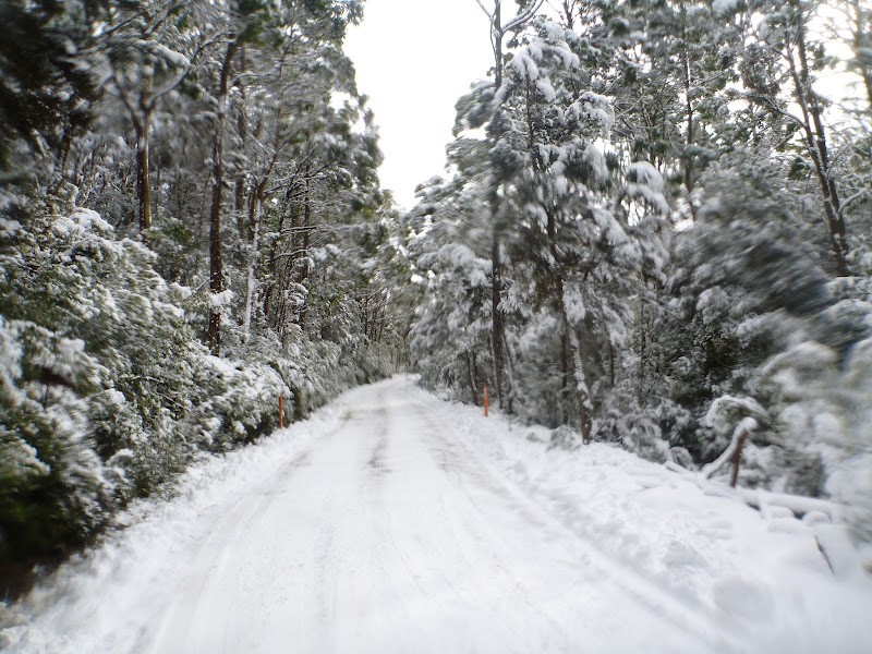
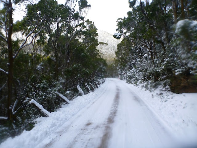
Climbing nearly 1000 metres in around 15kms, this route takes you from the visitors centre at the entrance of Mt Field National Park to the car park at Lake Dobson. Although entirely on a gravel road that is open to traffic, this is a brilliant ride whether you're seeking the fun and beauty of riding in the snow in winter, seeing the fagus change colour in Autumn or heading up to enjoy the upper regions of the park through summer.
A National Parks Pass will be needed to do this ride.
GETTING THERE
This ride starts anywhere near the visitors centre at the entrance of Mt Field National Park which is a 70km by road west of Hobart (1 hour drive), just head out of Hobart on the Brooker Highway, turning off towards New Norfolk and continuing on through Bushy Park, Westerway and then into National Park.
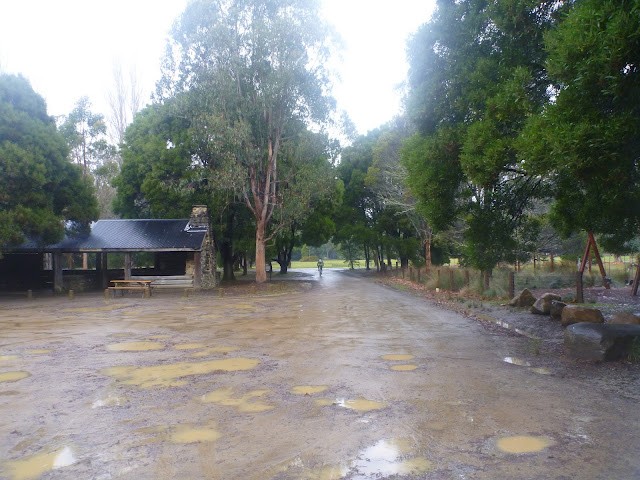
You can start this ride anywhere after crossing the bridge into the park. There is a toilet and shelter immediately on your right as you enter the park which makes a good place to start and finish, or continue on up to the visitor centre which has a log fire on cold days and a cafe.
START FACILITIES
The Visitors Centre at the park has a cafe which does food and hot drinks. There are also plenty of BBQ sites at the entrance for those who want to make a day of it.
ROUTE OPTIONS
Pretty much this is an up and back ride. There are a few little walks you can do on the way up, and once at Lake Dobson you could leave your bike and continue on foot to Mt Mawson or beyond.
WARNINGS
If you're thinking this might be a good one-way ride for serious downhill riders, think again. Whilst the traffic on the road is usually very light, they last thing they're expecting to see is a cyclist hurtling around a blind corner towards them. For the same reason, this is probably not a good ride for younger children.
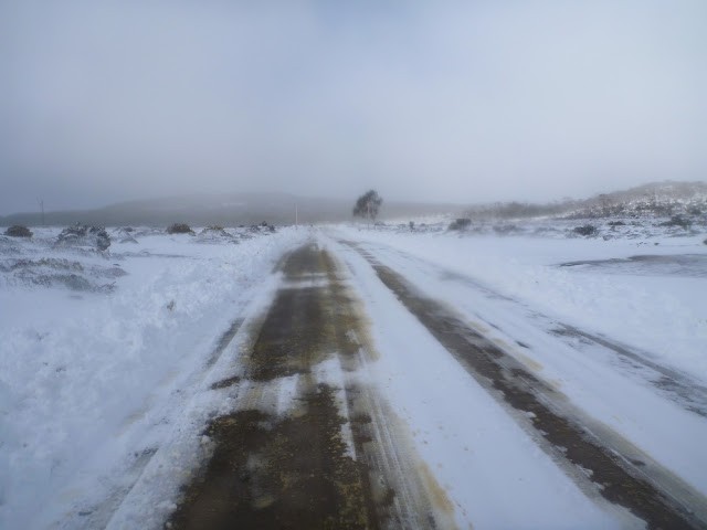
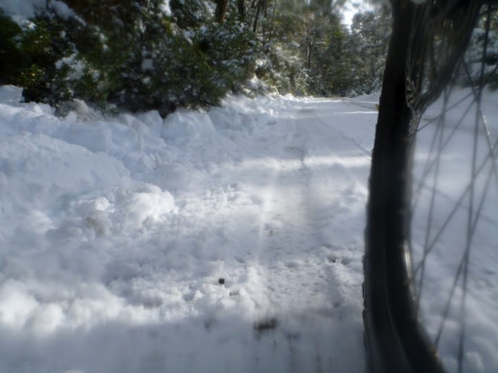
It can get very cold up on top and even on a warm day if you get wet on the way up it can be an extremely cold ride on the way back down. Take an extra pair of warm gloves and socks, and a scarf or facemask to keep your ears warm as well. Also if going up in winter be aware that you'll be riding in snow which can make this a quite technical and slippery descent.
Although there is a 40km speed limit on most of the road, my experience is that this is ignored by most cars as they race to get up to the top. With lots of blind corners it's up to you stay safe. In short expect to use your brakes a lot on the way down. This is not a route for downhill enthusiasts or young children who don't have good road sense.
Finally, you will be climbing from around 160 to 1,100 metres above sea level and whilst the road is seldom 'steep' it is a fairly constant grade. A reasonable level of fitness is required.
ROUTE MAP
The Mt Field National Park Map is useful for a bit of planning, or if you're going to do walks, but if you're just riding up and back you don't really need one.
ROUTE DETAILS
There is only one road in the park (the one you came in on) so from wherever you parked, just continue along this road, past the visitors centre which will be on your right.
There is one junction a hundred metres from the visitors centre where you turn left down into the campground, and right up to Lake Dobson (signed).
From here just follow you nose.
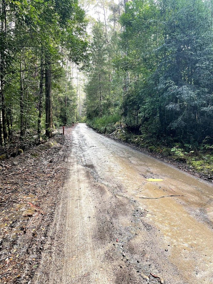
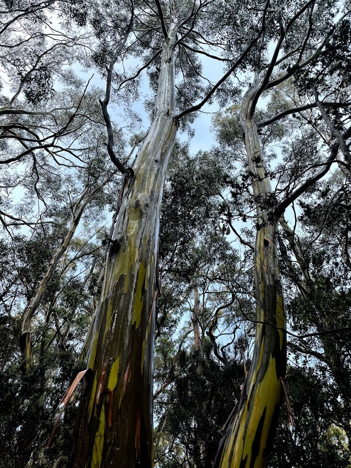
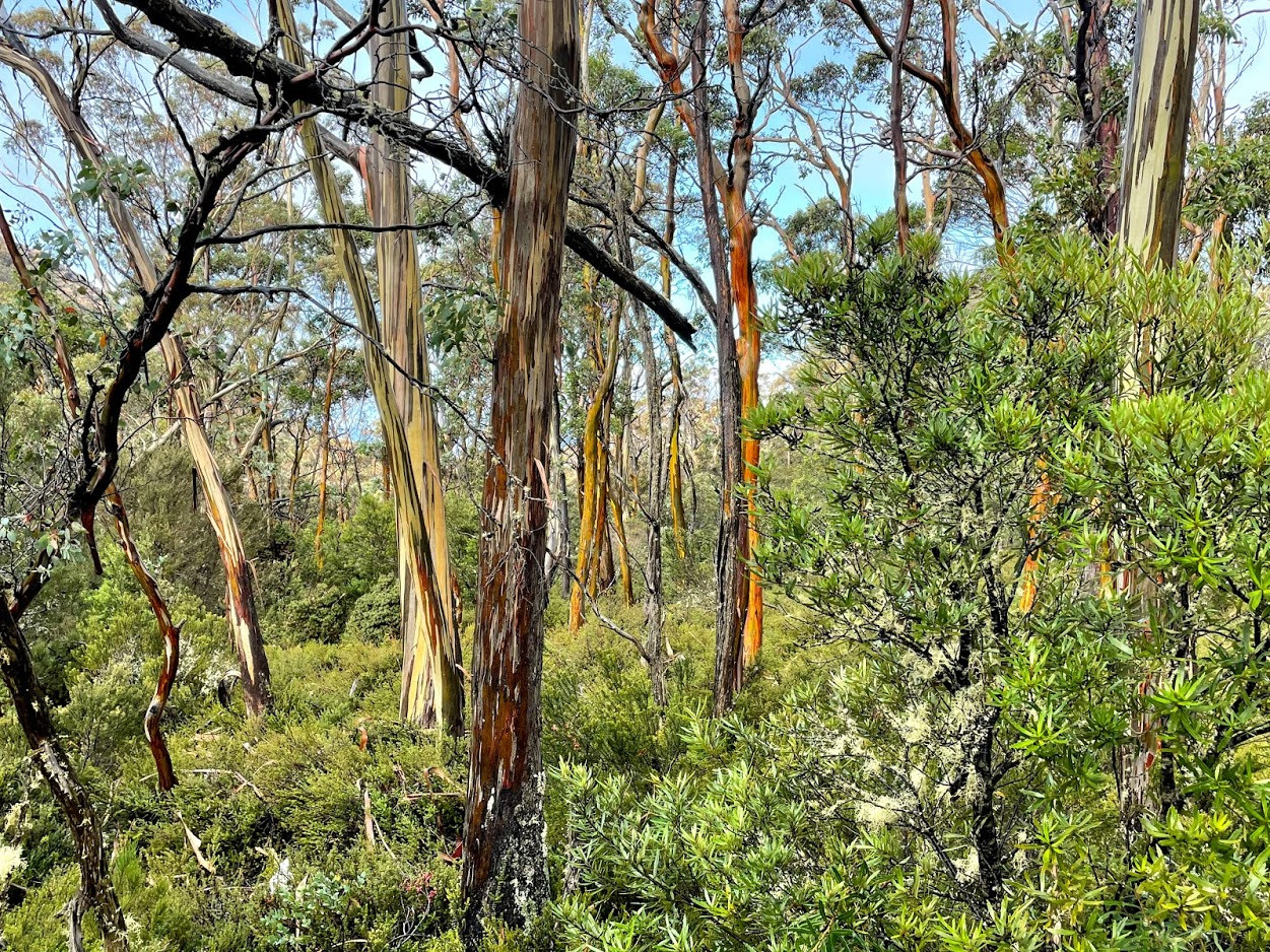
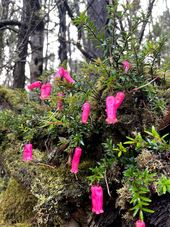
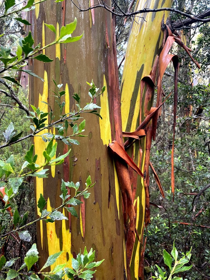
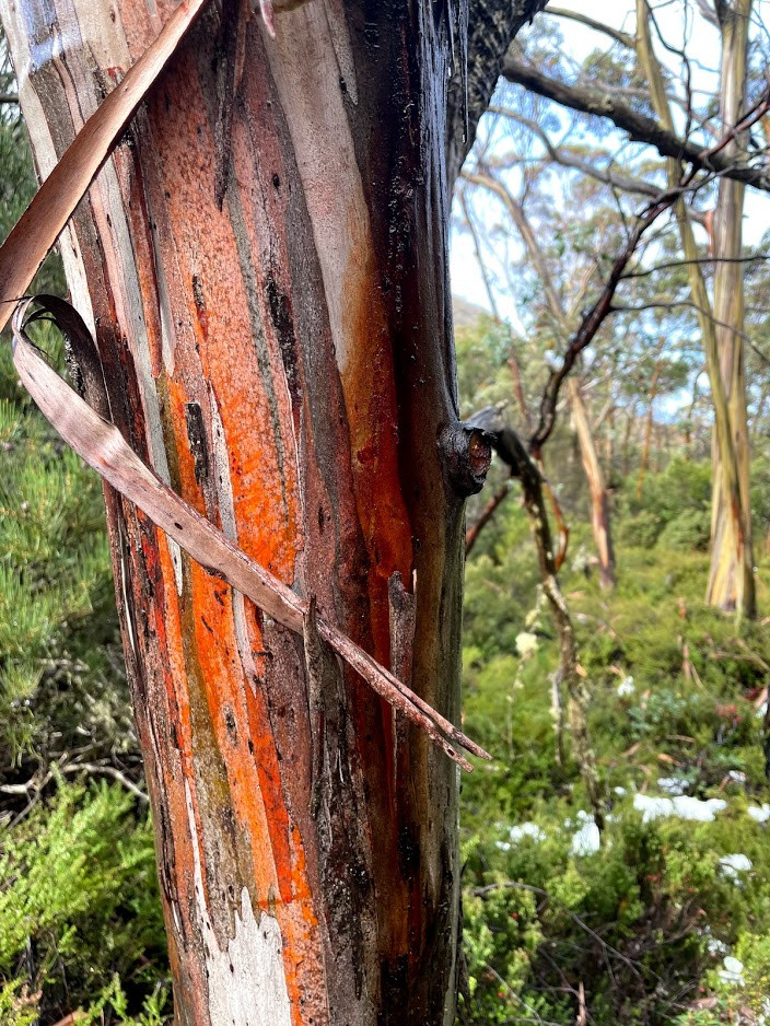
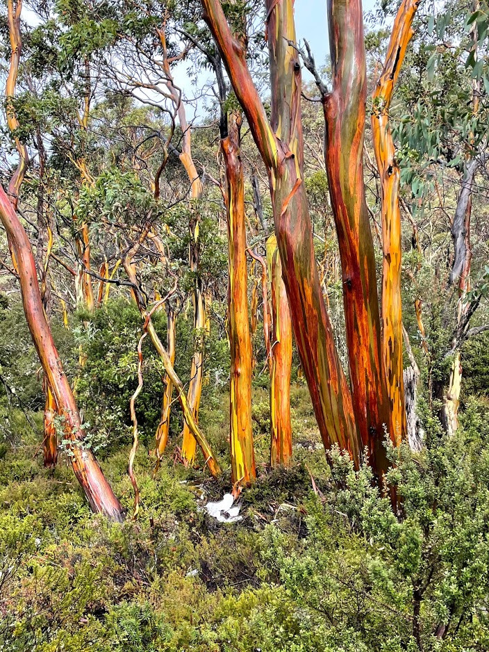
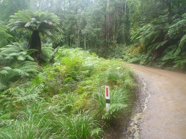
The first five kilometres is mainly through mixed-forest with a lovely rainforest understorey, meaning you'll get to see both giant eucalypts and beautiful ferns and mosses all the way along. To be honest this section of the road is loveliest when it's wet, so don't be out off by a bit of rain.
Approximately 2kms from the start you'll pass through a large car park and the giant trees walk, and then 5kms from the start you'll come to a well signed lookout on your left. Although the views aren't that brilliant, and the lookout can be extremely slippery in cycling shoes, it is a good place to take a short breather.
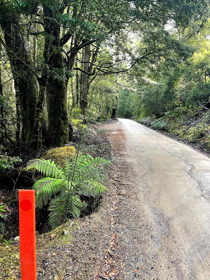
Once past the lookout, the rainforest understorey slowly starts to disappear as you start moving into higher alpine forest, although there is still plenty to enjoy. At 6.4km you will pass a short walk on your left and then 9kms from the start you will pass the well signed start of the Lake Nichols track. Just past here you'll start getting your first glimpses of the higher peaks. About 11.5kms from the start you'll pass the bottom of Lake Fenton and another 500 metres further on you'll feel the gradient finally ease off as you come up onto the plateau.
After a short downhill section, you'll cross the exposed plateau, drop down into a bit of a sheltered gully where you'll pass the Government Huts on your right, and then there's a last final little climb to the Lake Dobson car park, 15kms from the start.
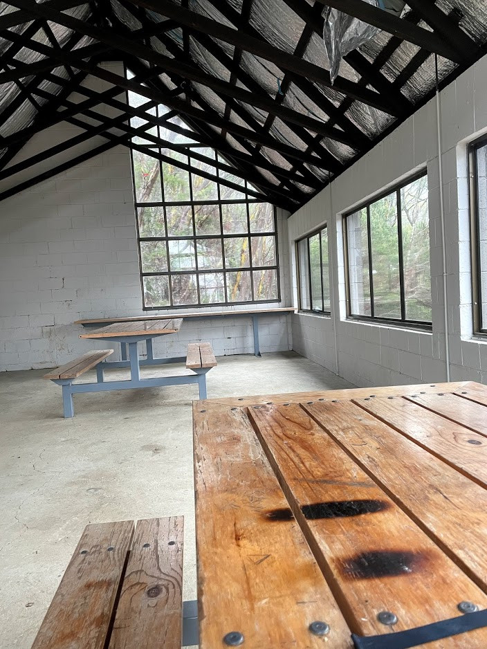
There is a day shelter on your left as you come into the car park which gets you out of the wind (though there is no fire place) and there is a toilet behind this as well. On a sunny day it's worth a walk around Lake Dobson or just sit and enjoy yourself, but in winter (unless you've brought a thermos and a dry change of clothes) you'll probably want to turn around pretty quickly and start heading back down.
Just retrace your route up when you're ready to leave.
Photos


Map
Editor review
Review

User reviews
Steve
Review
-
{{#owner}}
-
{{#url}}
{{#avatarSrc}}
{{name}} {{/url}} {{^url}} {{#avatar}} {{& avatar}} {{/avatar}} {{name}} {{/url}} - {{/owner}} {{#created}}
- {{created}} {{/created}}